Observation Technology

Experimental Weekly Sargassum Inundation Report (SIR v1.2) By the National Oceanic and Atmospheric Administration (NOAA), and the University of South Florida (USF) – Status: Jun 16-22, 2020

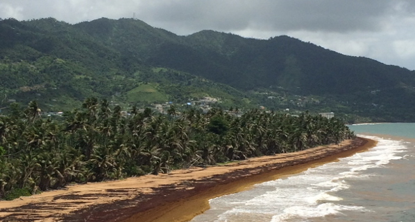
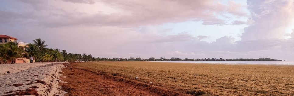
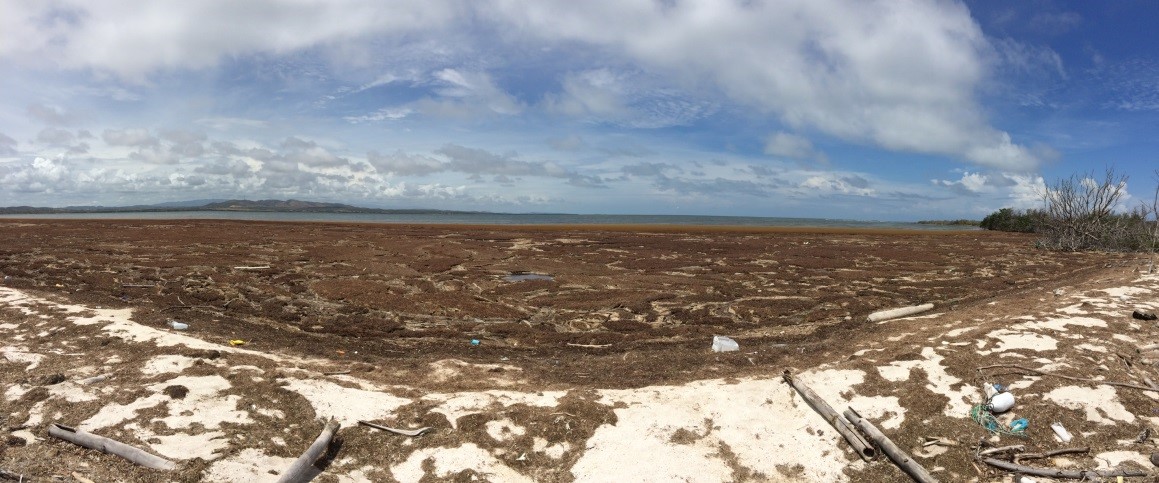
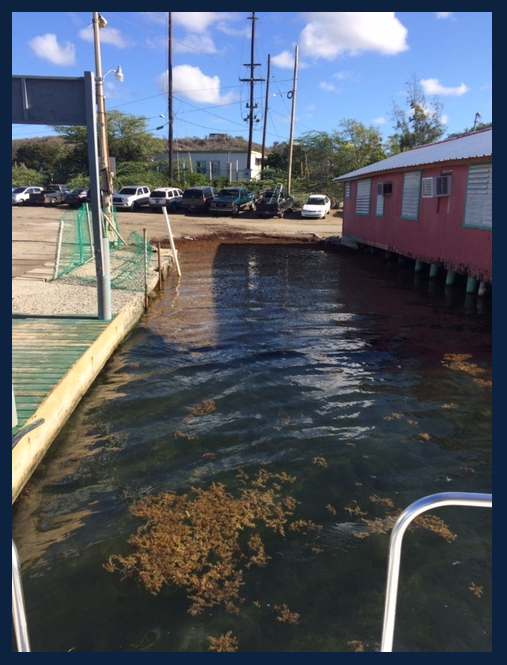
Since 2011, large accumulations of Sargassum is a recurrent problem in the Caribbean Sea, in the Gulf of Mexico and tropical Atlantic. These events can cause significant economic, environmental and public health harm. These experimental Sargassum Inundation Reports (SIR) provide an overview of the risk of sargassum coastal inundation in the Caribbean and Gulf of… Read More
Outlook of 2020 Sargassum blooms in the Caribbean Sea and Gulf of Mexico* April 30th, 2020, by University of South Florida Optical Oceanography Lab

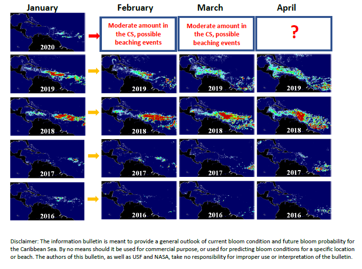
The maps below show Sargassum abundance, with warm colors representing high abundance. In April 2020, the Sargassum amount continued to increase across the central Atlantic. Large amount of Sargassum was observed in the Central West Atlantic (CWA, i.e., the region east of the Lesser Antilles in the maps below) and the Central East Atlantic (CEA)…. Read More

Outlook of 2020 Sargassum blooms in the Caribbean Sea and Gulf of Mexico* February 29th, 2020, by University of South Florida Optical Oceanography Lab

The maps below show Sargassum abundance, with warm colors representing high abundance. In February 2020, the Sargassum amount continued to increase across the central Atlantic. Although the bloom magnitude is still lower than in some previous bloom years (2015, 2018, 2019), it is higher than in other years, and considerable amount of Sargassum is observed… Read More Photo by Pixabay

Improving accessibility and visualization of Puerto Rico coral reef data

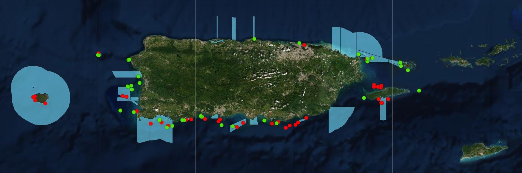
The visualization of biological datasets is paramount to better understand global change related to variable oceanographic conditions. In this regard, the NOAA Coral Reef Connservation Program (CRCP) funded Puerto Rico Coral Reef Monitoring Program (PRCRMP) of the Department of Natural and Environmental Resources (DNER), becomes an essential tool. The PRCRMP includes benthic and fish observations… Read More

Glider School

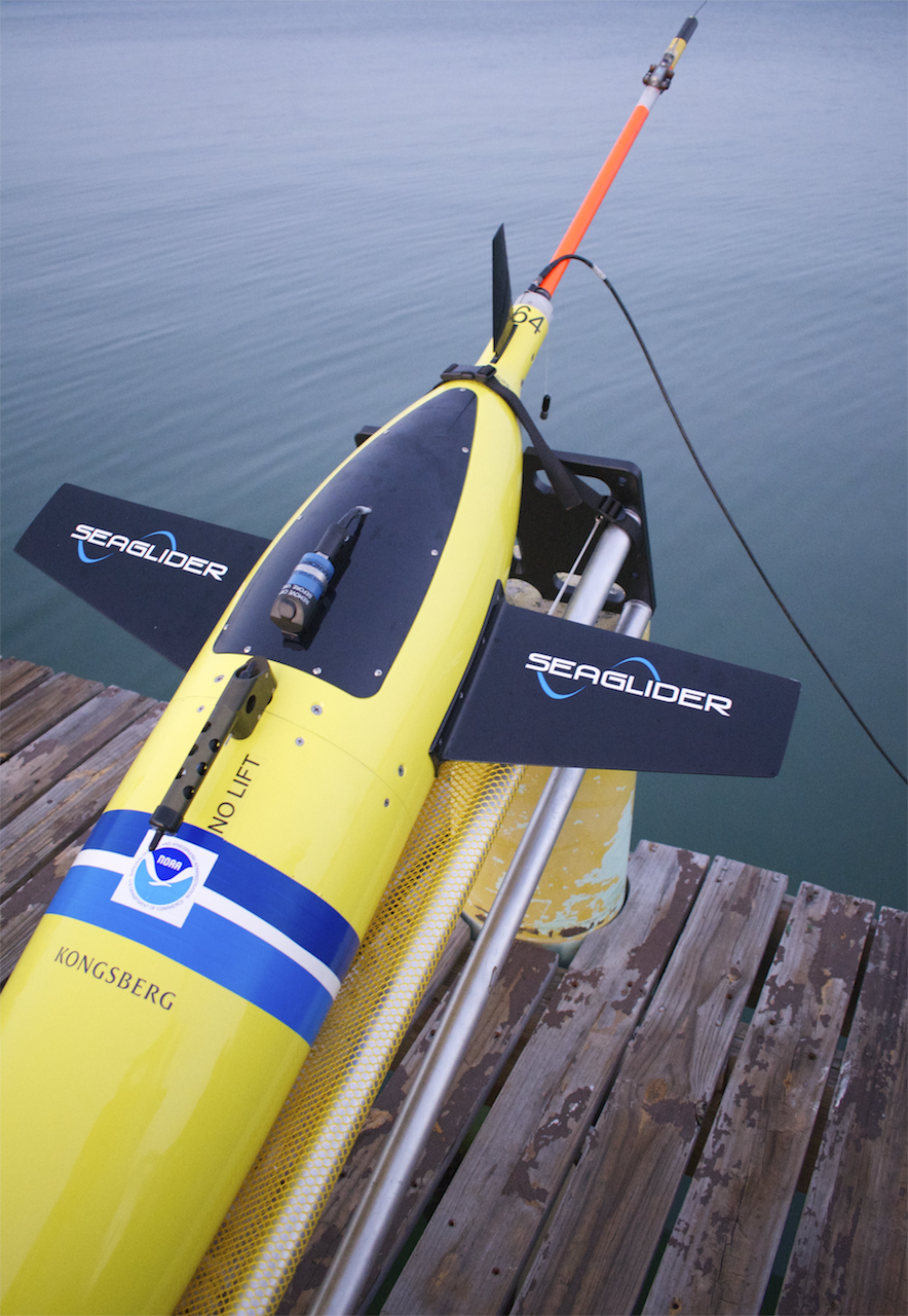
CARICOOS technical team received a hands-on-learning training from NOAA-AOML personnel on how to refurbished and prepare underwater gliders. These will be deployed during the upcoming hurricane season to collect oceanographic data which will contribute to hurricane intensity forecasting studies (Photos by Efra Figueroa).

NOAA CoastWatch Ocean Satellite Data Course

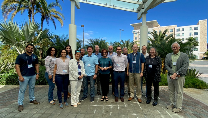
The NOAA CoastWatch Program in collaboration with CARICOOS and with the Department of Marine Sciences of UPR-Mayaguez hosted the NOAA CoastWatch Ocean Satellite Data Course during February 5- 7, 2020 at the Hyatt Place Hotel in San Juan, PR. Instructors from CoastWatch Regional Nodes across the Nation shared their expertise towards the discovery, access and… Read More

Outlook of 2020 Sargassum blooms in the Caribbean Sea and Gulf of Mexico* January 31st, 2020, by University of South Florida Optical Oceanography Lab

The situation in January 2020 has changed dramatically from December 2019. Although the Sargassum amount in the Central West Atlantic (CWA, i.e., the region east of the Lesser Antilles in the maps here) is still low as compared to some bloom years in history (2015, 2018, 2019), there isconsiderable increase from December 2019. In the… Read More

A Major Swell Event to Impact the Caribbean

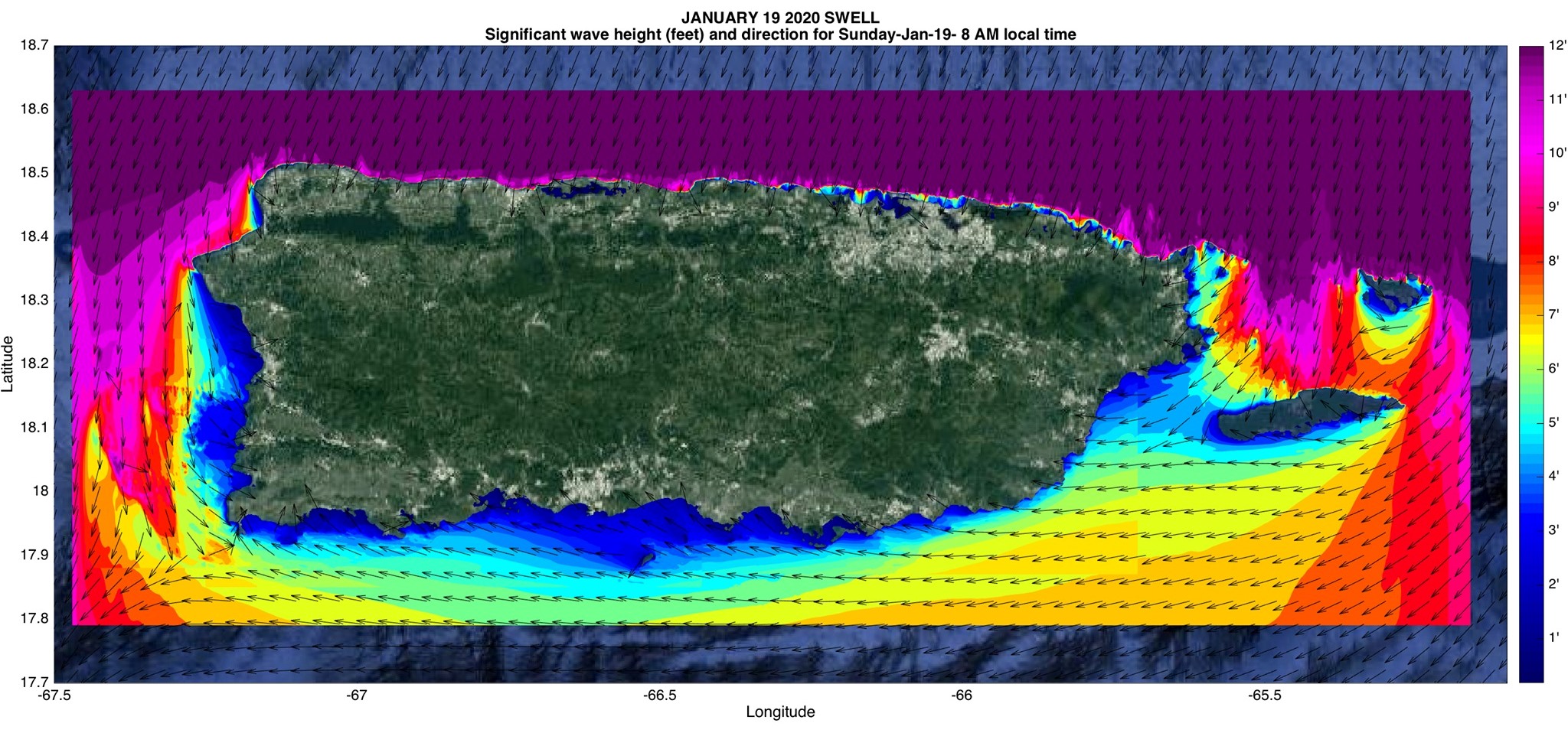
A very large wave event with deep water wave heights of 10-13 feet and wave periods of 14-16 seconds will be affecting our region starting Saturday night, peaking Sunday morning, and continuing to generate large waves through Monday. This event could generate breaking waves of 15-20 feet or more as well as coastal erosion and… Read More