CARICOOS-Virgin Islands

Outlook of 2018 Sargassum blooms in the Caribbean Sea – October 1 2018, by USF Optical Oceanography Lab

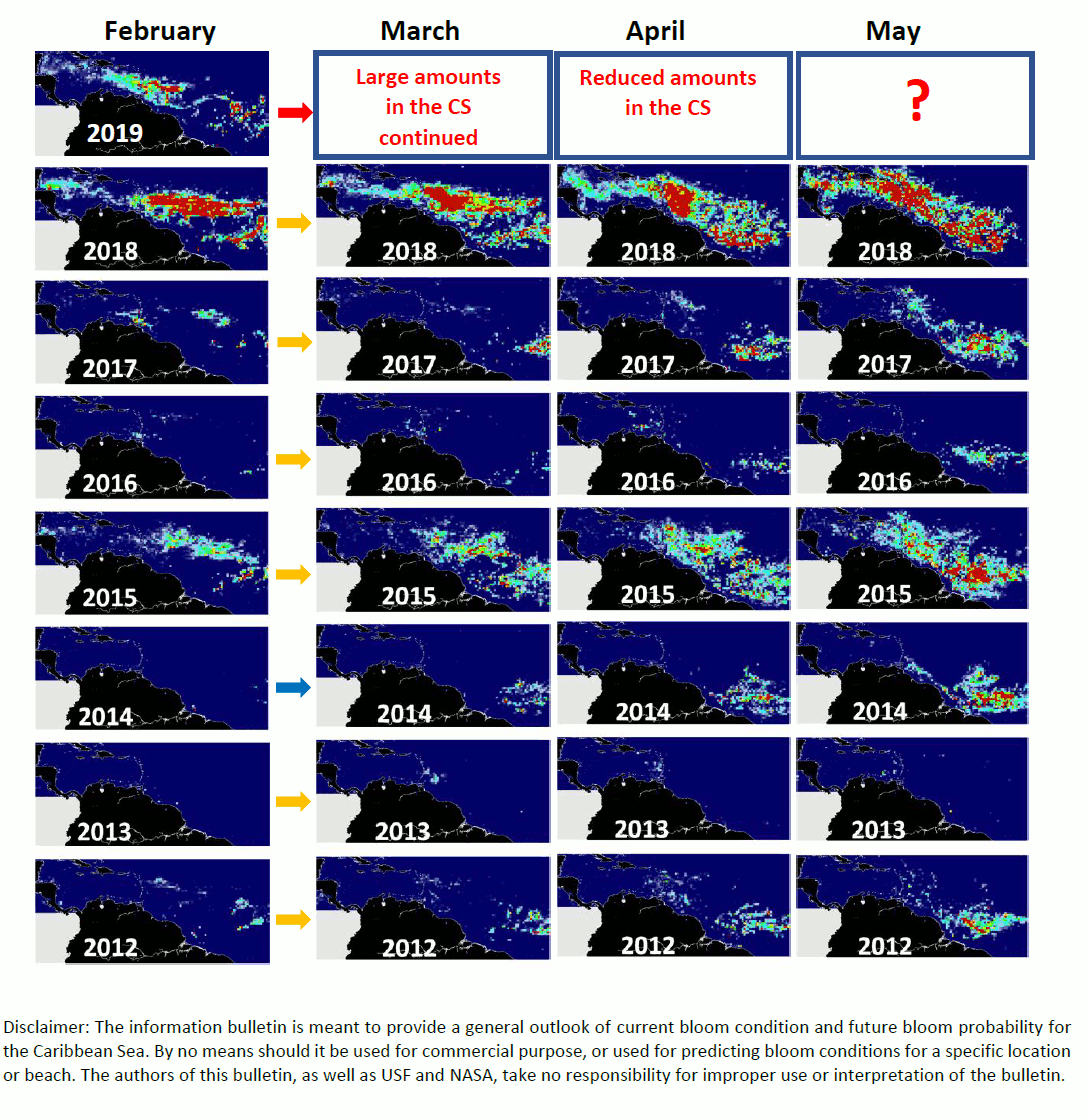
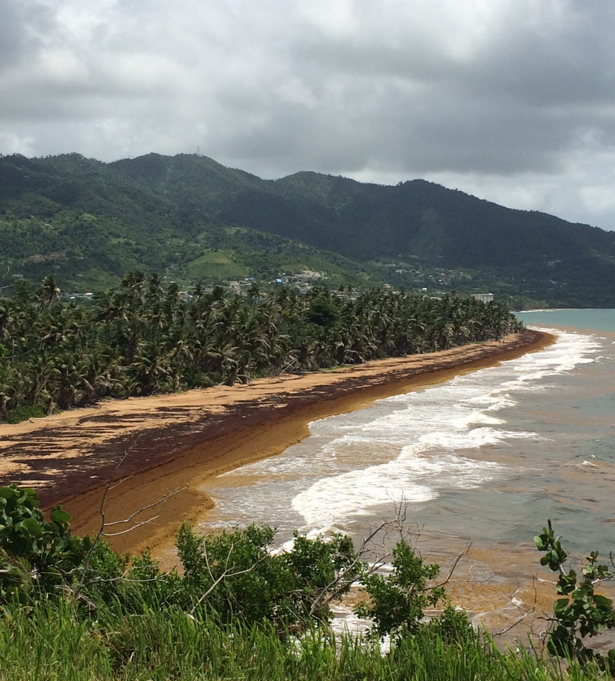
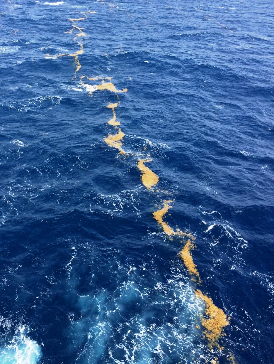
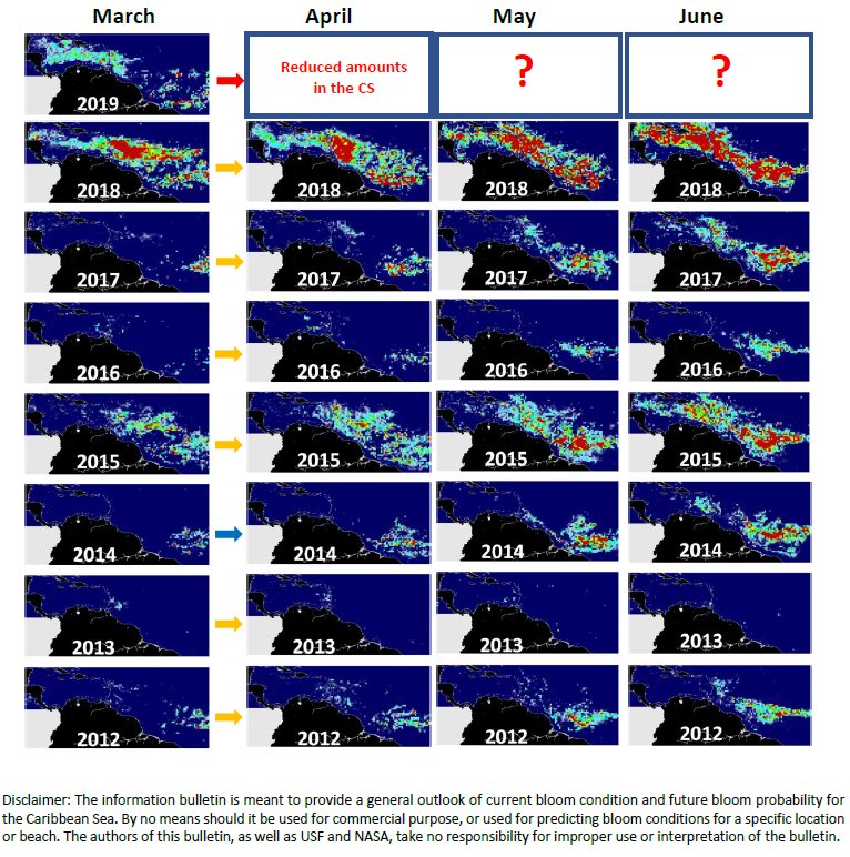
So far the Caribbean Sea has experienced a record-high Sargassum bloom ever since January 2018. The maps below show Sargassum abundance, with warm colors representing high abundance. Satellite observations also showed Sargassum transport to the Gulf of Mexico, Florida Straits, and the east coast of Florida. All these observations have been are confirmed by the… Read More

Well received CARICOOS mobile application “Pa La Playa”

The Caribbean Coastal Ocean Observing System (CARICOOS) released the application Pa ‘La Playa. This app was developed to provide information on weather conditions, waves, water quality, among other data, from over 100 beaches in Puerto Rico and the US Virgin Islands. This app had over two thousand downloads during the summer months of 2018 plus… Read More

US Caribbean region receives $2.7 million for Coastal Ocean Observing

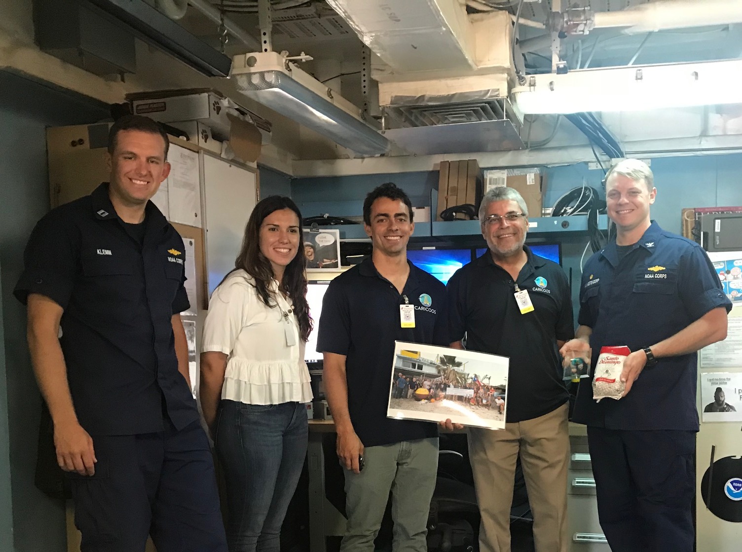
The NOAA U.S. Integrated Ocean Observing System (IOOS) awarded CARICOOS $2.7 million to maintain and enhance ocean and coastal observations in Puerto Rico and the U.S. Virgin Islands. CARICOOS is one of eleven coastal ocean observation systems and regional associations that together with federal agencies constitute the national coastal component of the Integrated Oceanic Observing… Read More

Ocean Gliders: Improving Atlantic Hurricane Season Forecasts

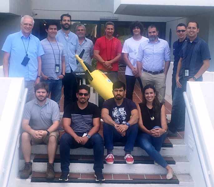
  A fleet of 14 torpedo-shaped ocean gliders, remotely-operated powered autonomous underwater vehicles which can measure subsurface ocean properties, were recently deployed in the CARICOOS region to collect important data in the Caribbean Sea and tropical Atlantic Ocean that could prove useful to improve hurricane forecasting. Researchers and technical personnel from NOAA-Atlantic Oceanographic and Meteorological… Read More

Asamblea General 2018

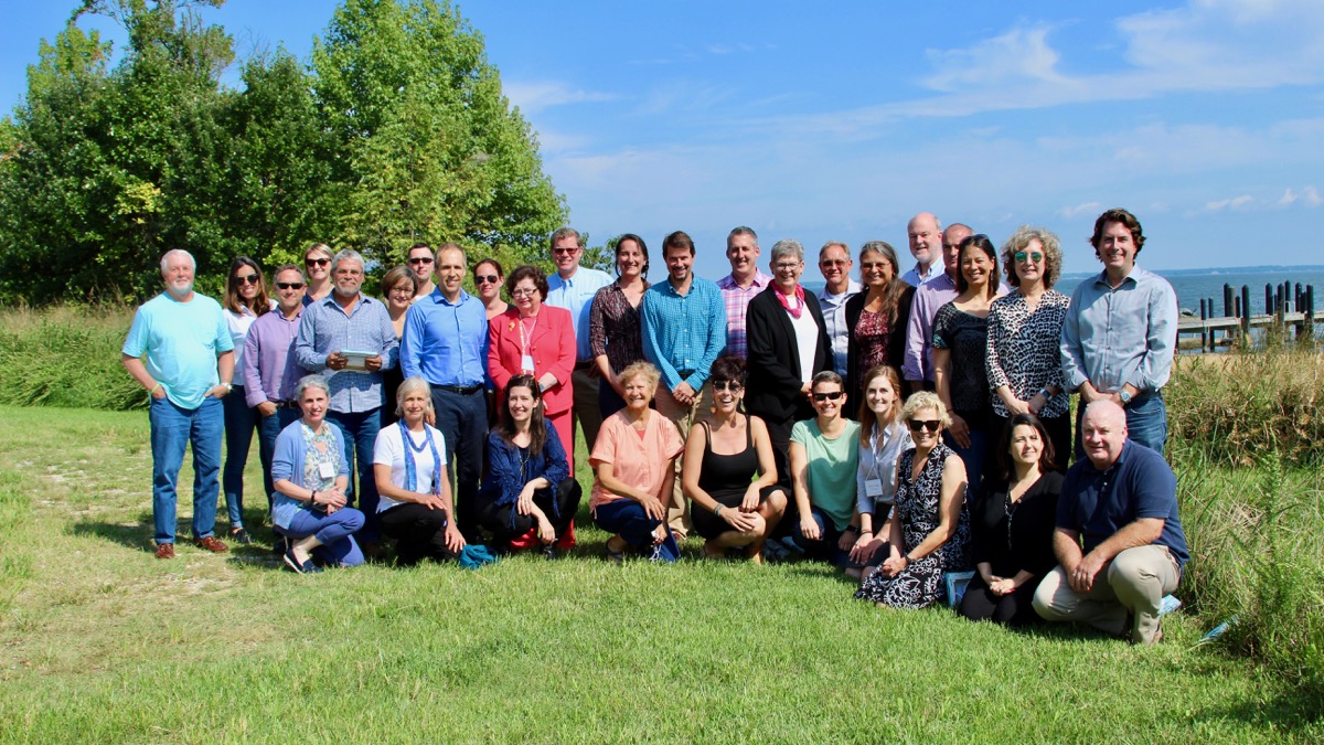
CARICOOS: 11 años optimizando la experiencia marítima By Mariam Ludim Rosa Vélez (mariamludim@uprm.edu) Prensa RUM Friday, June 8, 2018 Por 11 años, el Sistema Caribeño de Observación Costera Oceánica (CARICOOS) del Recinto Universitario de Mayagüez (RUM), ha mantenido su norte de optimizar la experiencia marítima de los ciudadanos con datos relevantes que les permitan tomar decisiones…. Read More

Outlook of Sargassum blooms in the Caribbean Sea for 2018

According to past experience, a winter bloom in the central West Atlantic often evolved into a major bloom in the Caribbean Sea in spring and summer. The past month of January to March 2018 showed the largest bloom in the central West Atlantic, as compared to the same months in history. The eastern Caribbean islands… Read More

Vientos durante el Huracán María

  El pasado 20 de septiempbre el huracán María atravezó la isla de Puerto Rico. La red de anemómetros de CARICOOS pudo detectar la intensidad del vientos. A continuación podemos ver el viento registrado por zona. Debemos señalar que algunas de las estaciones dejaron de reportar cuando fallaron las comunicaciones e internet en la isla.

CARICOOS Buoys are Ready for the Hurricane Season

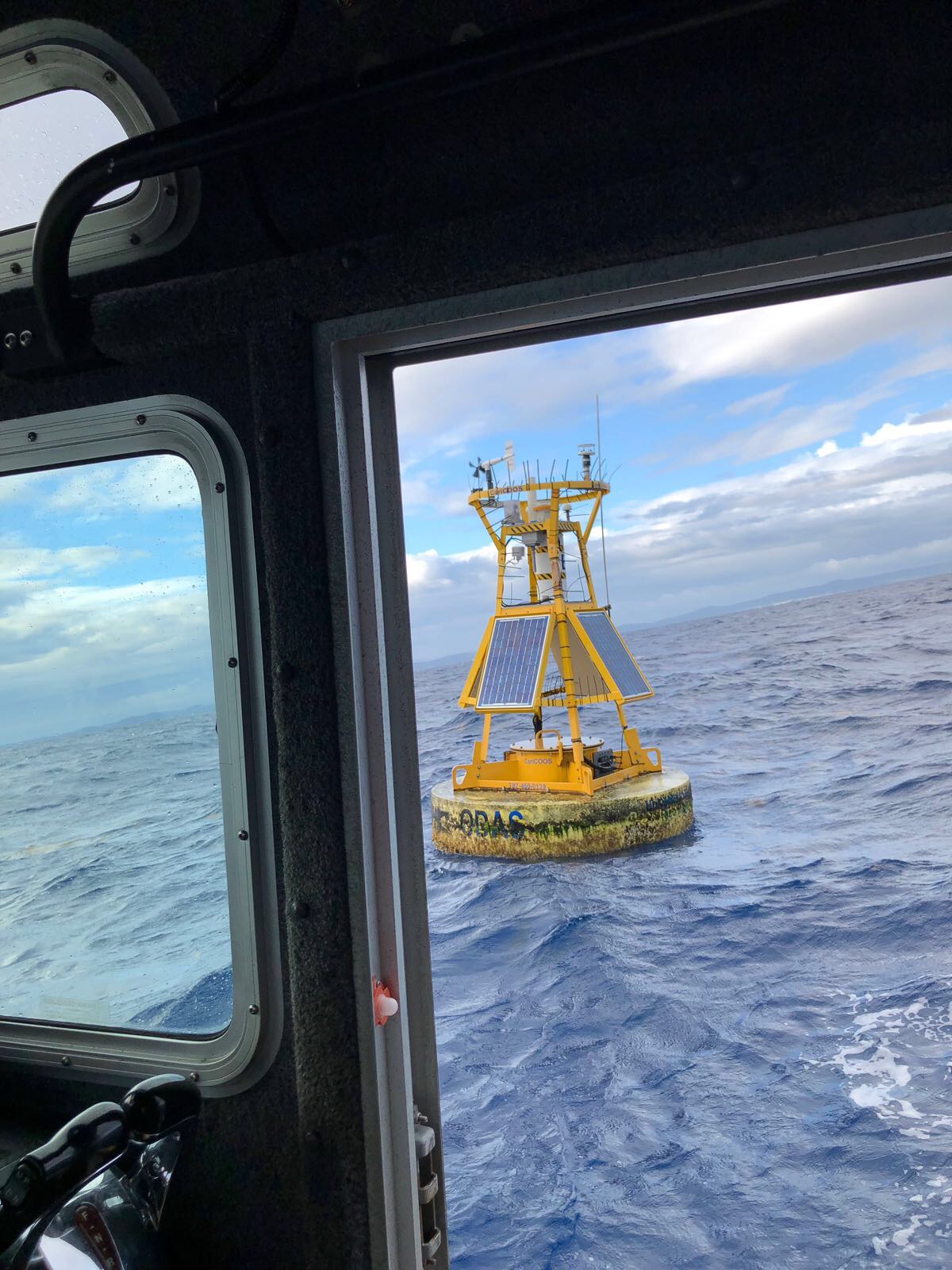
The hurricane season kicked off on Thursday, June 1st and is now officially underway in the Atlantic Ocean and Caribbean Sea. Our data buoys are back in the water to record the entire season. With support from the University of Maine’s Physical Oceanography Group and Commercial Divers Inc., CARICOOS staff performed the annual maintenance for the Ponce,… Read More

Gliding through the Atlantic Ocean and Caribbean Sea during the hurricane season

The Atlantic Oceanographic and Meteorological Laboratory (AOML) Physical Oceanography Division and the Caribbean Coastal Ocean Observing System (CARICOOS) deployed two underwater gliders in the Caribbean Sea and one in the Atlantic Ocean. These autonomous underwater vehicles will dive to depths of up to 1,000 meters and travel hundreds of kilometers across the Atlantic Ocean and… Read More Gliders1