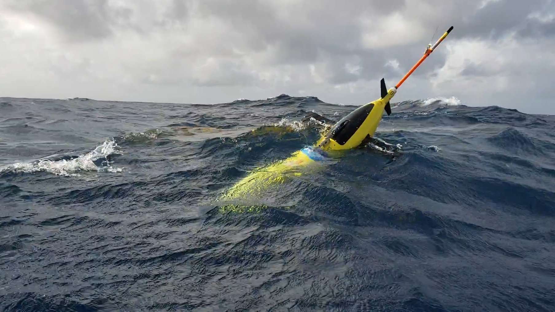
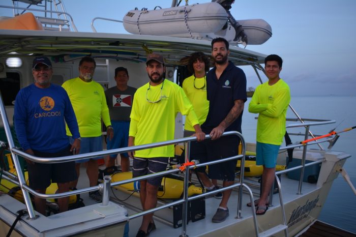
A fleet of 14 torpedo-shaped ocean gliders, remotely-operated powered autonomous underwater vehicles which can measure subsurface ocean properties, were recently deployed in the CARICOOS region to collect important data in the Caribbean Sea and tropical Atlantic Ocean that could prove useful to improve hurricane forecasting. Researchers and technical personnel from NOAA-Atlantic Oceanographic and Meteorological Laboratory (AOML), CARICOOS and the U. of Puerto Rico-Mayagüez where responsible for setting up and deploying 9 gliders off Puerto Rico while scientist from OCOVI, U. Virgin Islands and Rutgers U. launched 5 in USVI waters. Ten of the gliders came from the U.S. Navy, and the others from NOAA-AOML.
Ocean Glider deployment in the Caribbean Sea. Photo: Efra Figueroa
The gliders will collect the oceanic data as they dive down from the surface to a half mile of depth and then regularly resurface several times a day, even during hurricane conditions, to transmit information by satellite to the Global Telecommunications Center used by NOAA’s National Weather Service.
“If you want to improve prediction of how hurricanes gain strength or weaken as they travel over the ocean, it’s critical to take the ocean’s temperature and measure how salty it is,” said Gustavo Goni, an oceanographer at NOAA’s Atlantic Oceanographic and Meteorological Laboratory who is helping lead the glider research. “Not just at the surface, which we measure with satellites, but down into deeper layers of ocean waters.”
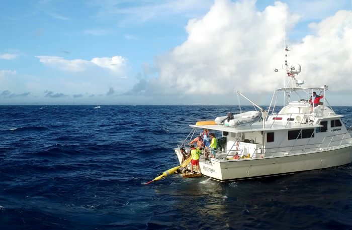
Prof. Julio Morell (CARICOOS Director), Grant Rawson (NOAA/AOML) and University of Puerto Rico Crew ready to deploy the gliders. Pic: Pedroza
Glider data, as well as data from other ocean observing systems, showing lower concentrations of salt in surface seawater, can be a clue that this lighter less salty water may form a warm cap that prevents cool water from welling up to the surface. This warm cap can then fuel a hurricane’s strength. Glider data can also help scientists better predict if the cooler water lying just below the warm surface waters is likely to rise and mix with the surface waters and weaken hurricane strength.
CARICOOS Director, Prof. Julio Morell, indicated that glider data also help us understand other important phenomena like ocean warming events that can result in coral bleaching and oceanic currents.
Since 2014, NOAA-AOML and CARICOOS have launched two to four gliders each hurricane season in this same region. The Navy collaboration tripled the number of gliders, which greatly increases the odds that gliders will be close enough to more tropical storms to provide key data for weather forecasts.
The data will also be available to the public through the U.S. IOOS Glider Data Assembly Center (https://gliders.ioos.us/) later this summer and at CARICOOS website (https://www.caricoos.org/).