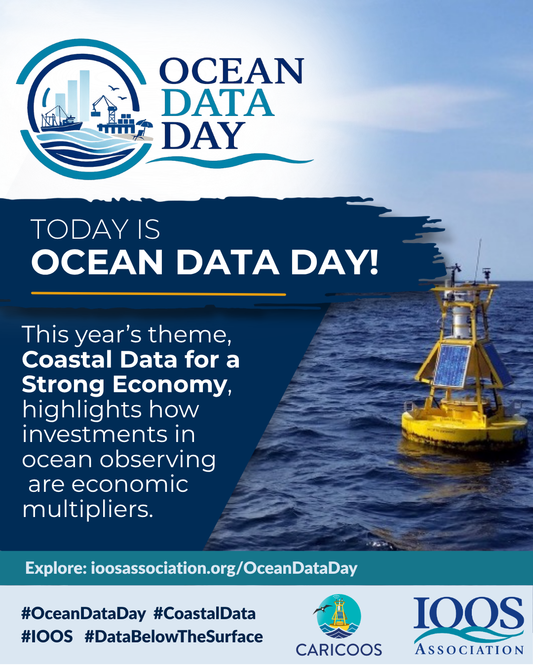
Coastal Data for a Strong EconomyJune 25, 2026 From the cold waters of the Arctic to the tropical Pacific Islands to the world’s largest system of freshwater lakes, U.S. regions are incredibly diverse – and so are the economies they support. Coastal and Great Lakes industries generate billions in economic activity and support millions of… Read More
Media ContactKristen Yarincik, Executive Director, IOOS Associationkristen@ioosassociation.org Washington, DC, June 24, 2026 — America’s recreational fishing and seafood industries support $319 billion in economic activity and 2.1 million jobs nationwide. Together, they strengthen coastal economies, sustain working waterfronts, support small businesses, and help feed communities across the country. Yet operating in dynamic coastal environments requires… Read More
Global Ocean North Atlantic The marine heatwaves in the Gulf of Mexico and northeast of the Caribbean are decreasing in both area and intensity. South Atlantic The marine heatwave located at the centre of the basin is decreasing both in area and intensity. North Pacific The marine heatwave near 180°W and 50°N is expanding in area and intensity,… Read More
A perspective for the Caribbean Sea and Gulf of America* by the University of South Florida Optical Oceanography Lab – (bbarnes4@usf.edu, yuyuan@usf.edu, huc@usf.edu) The map above shows the average Sargassum abundance for the month of May 2026, with warm colors representing higher abundance. The top color (red) indicates that 0.4% of the ocean surface is… Read More
Global Ocean North Atlantic The marine heatwave located at the centre of the ocean is decreasing both in intensity and area, and only some sparse areas of moderate to strong intensity remain.The marine heatwave located at the West of the Mexican Gulf is increasing in intensity. The marine heatwave affecting the Caribbean Sea is decreasing in intensity. South Atlantic The marine… Read More
A perspective for the Caribbean Sea and Gulf of America* by the University of South Florida Optical Oceanography Lab – (bbarnes4@usf.edu, yuyuan@usf.edu, huc@usf.edu) The map above illustrates the average Sargassum abundance for April 2026, with warmer colors indicating higher concentrations. The highest level (red) represents about 0.4% coverage of the ocean surface, meaning Sargassum clumps… Read More
This information is presented as a good faith service to the scientific community, the public in general and to our colleagues and friends. The information, views and opinions herein provided should not be viewed as formally accurate scientific data and/or advice that can be relied upon without proper verification and validation. This service should not be construed as a substitute for specific data that could be obtained though official sources. If any inaccuracy is observed, please inform CaRA as soon as possible for verification and correction, as necessary. Use of and reliance upon the information provided in this web site signifies that its user(s) understands and has(ve) accepted of the above mentioned caveat and conditions.