Author Archives for CARICOOS

Rincón Wave Buoy back in the water!

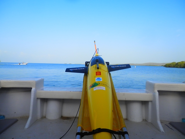
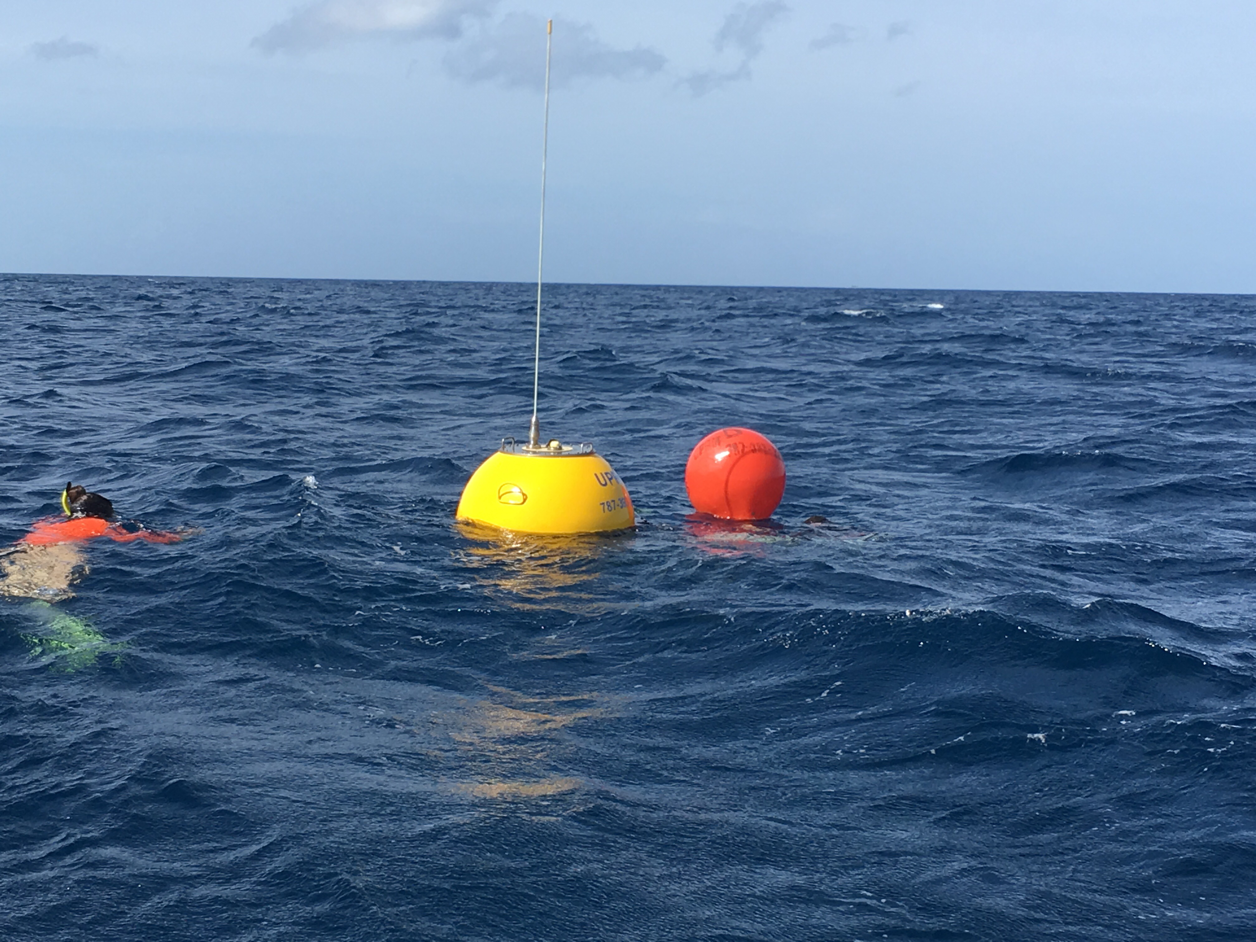
The Rincón wave buoy has been redeployed just in time for the beginning of the hurricane season and the North Atlantic wave season. The buoy was out of the water for two weeks for maintenance and a complete refurbishment. The buoy, which sits at approximately 2 km off the Rincón lighthouse, monitors and records information… Read More
CARICOOS Buoys are Ready for the Hurricane Season

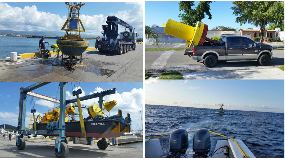
The hurricane season kicked off on Thursday, June 1st and is now officially underway in the Atlantic Ocean and Caribbean Sea. Our data buoys are back in the water to record the entire season. With support from the University of Maine’s Physical Oceanography Group and Commercial Divers Inc., CARICOOS staff performed the annual maintenance for the Ponce,… Read More

Gliding through the Atlantic Ocean and Caribbean Sea during the hurricane season

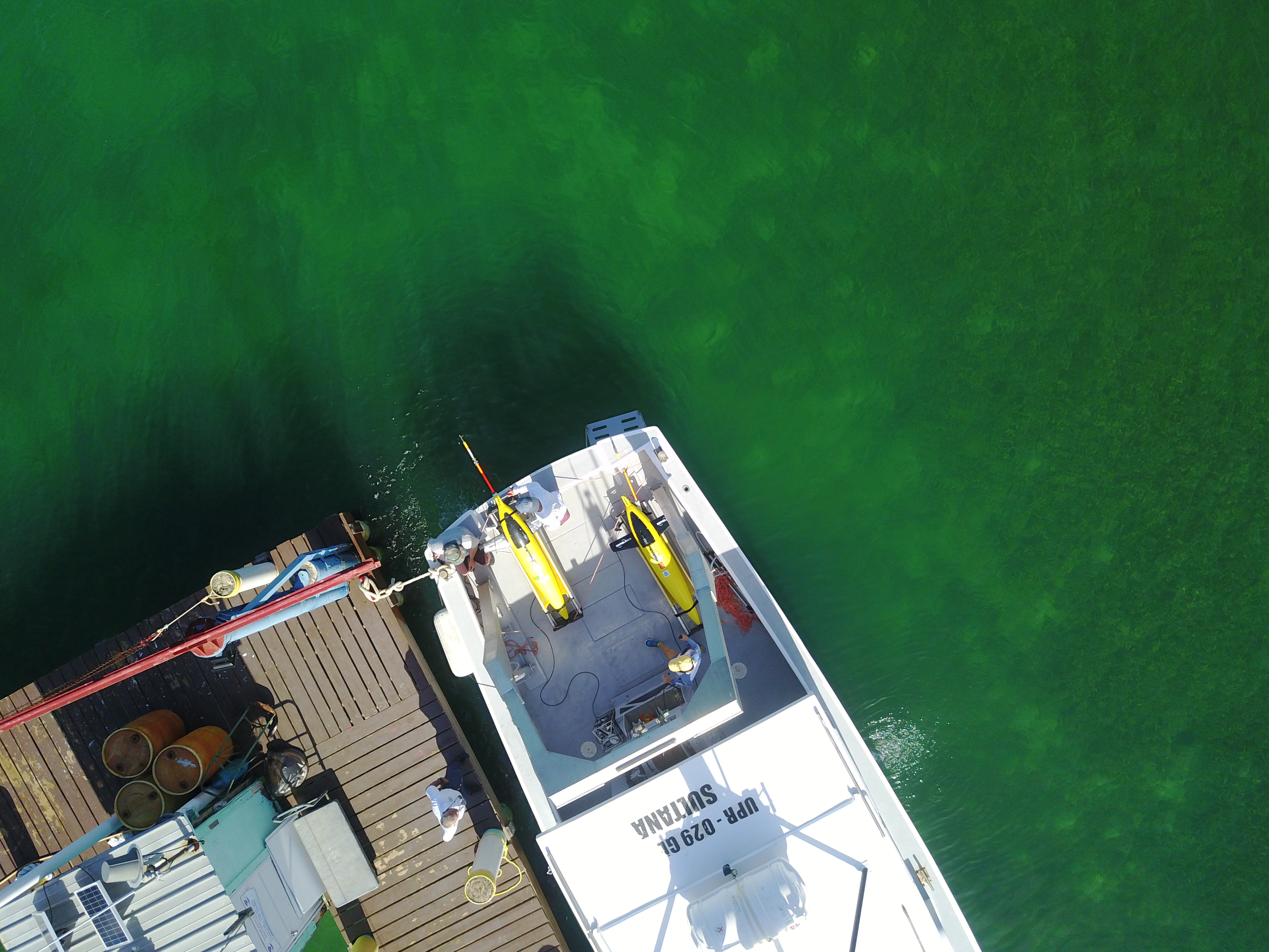
The Atlantic Oceanographic and Meteorological Laboratory (AOML) Physical Oceanography Division and the Caribbean Coastal Ocean Observing System (CARICOOS) deployed two underwater gliders in the Caribbean Sea and one in the Atlantic Ocean. These autonomous underwater vehicles will dive to depths of up to 1,000 meters and travel hundreds of kilometers across the Atlantic Ocean and… Read More Gliders1

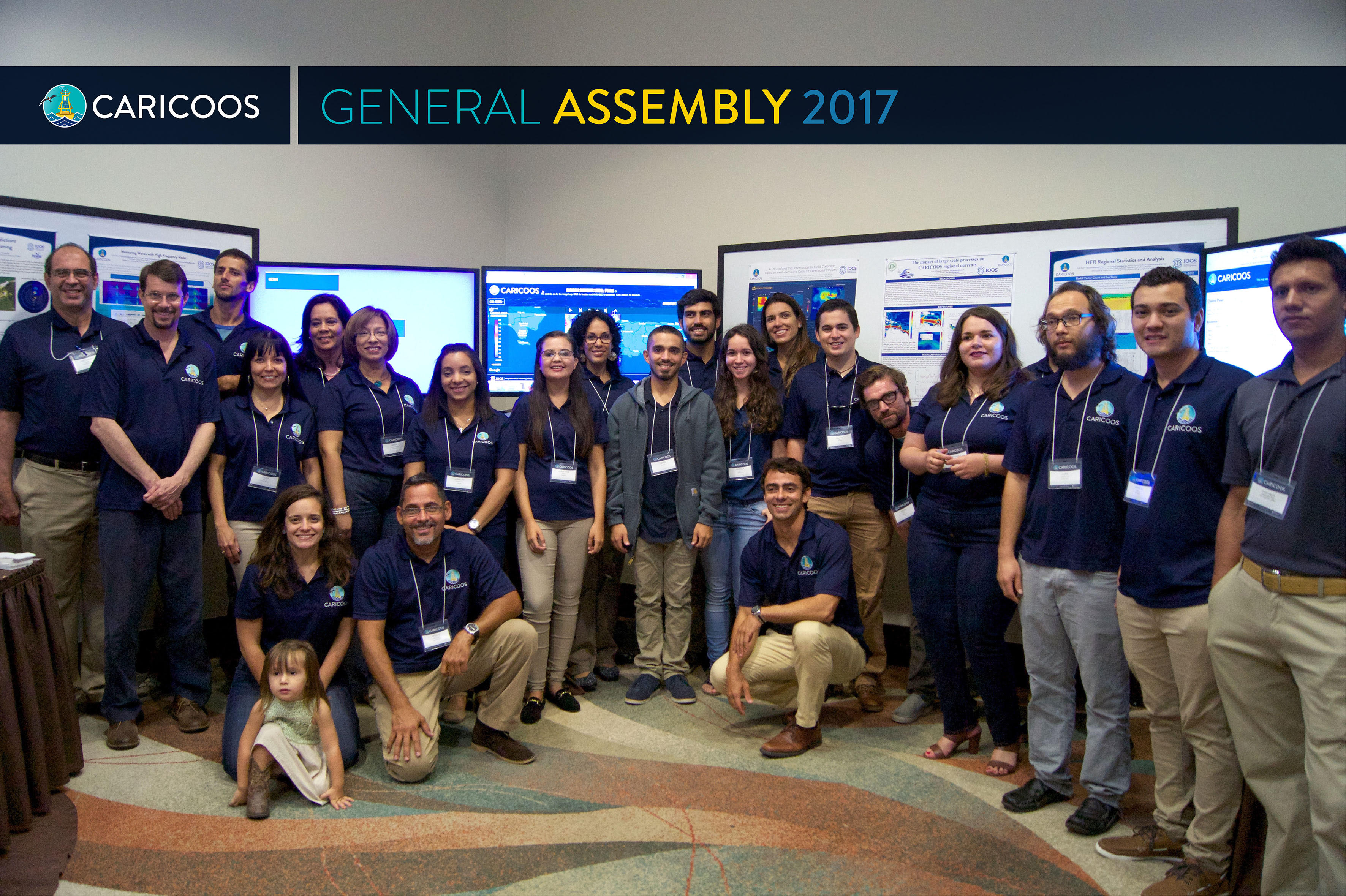
CARICOOS 2017 General Assembly

The CARICOOS General Assembly and Stakeholders Council Meeting took place last April the 28th at the Rincon Beach Resort. CARICOOS staff, students and collaborators presented their work through poster sessions and stakeholder packed forums. Topics included ocean currents, wave forecasts, beach water quality, and more. For more information including the agenda, posters and photo gallery click here.

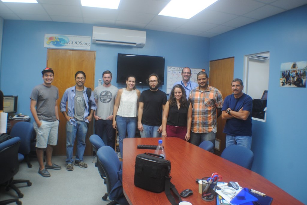
UVI Visits the CARICOOS Program Office

The CARICOOS Program Office had the pleasure of hosting University of Virgin Islands’ Sonaljit Mukherjee and Andy Breton from January 30th until February 3rd. The main purpose of the visit was to exchange knowledge toward enhancing CARICOOS forecasting capabilities and UVI data management protocols. They met with Juan Gonzalez-Lopez, our operational numerical modeling specialist, to… Read More CARICOOS crew

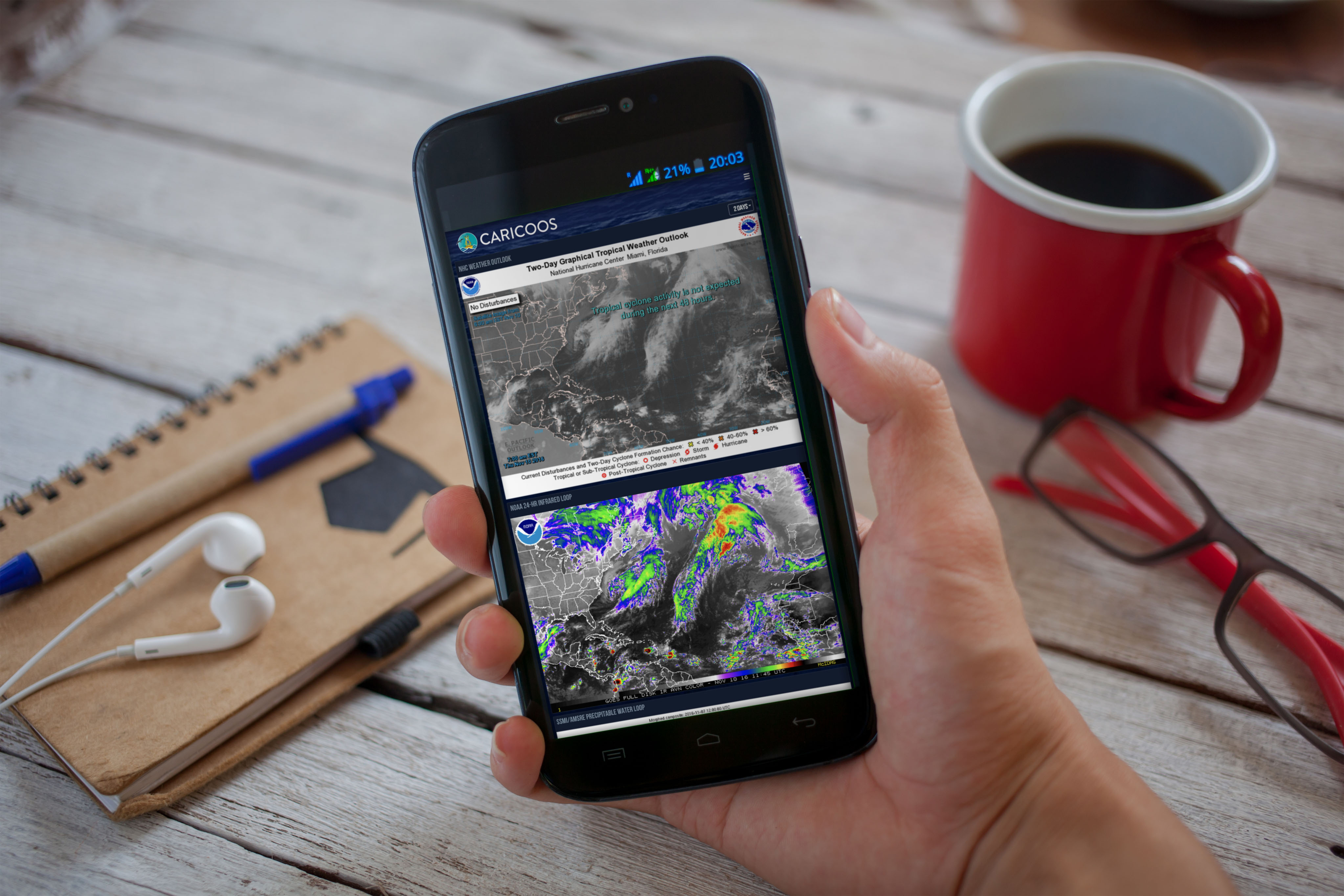
A View of Our Hurricane Season Dashboard

As the hurricane season comes to an end (or is it?), we look back on the new and improved hurricane season dashboard. We pulled the best products from the National Weather Service and other NOAA programs to provide you with a synoptic view of what’s going on in the Atlantic. This year we had almost 7000… Read More

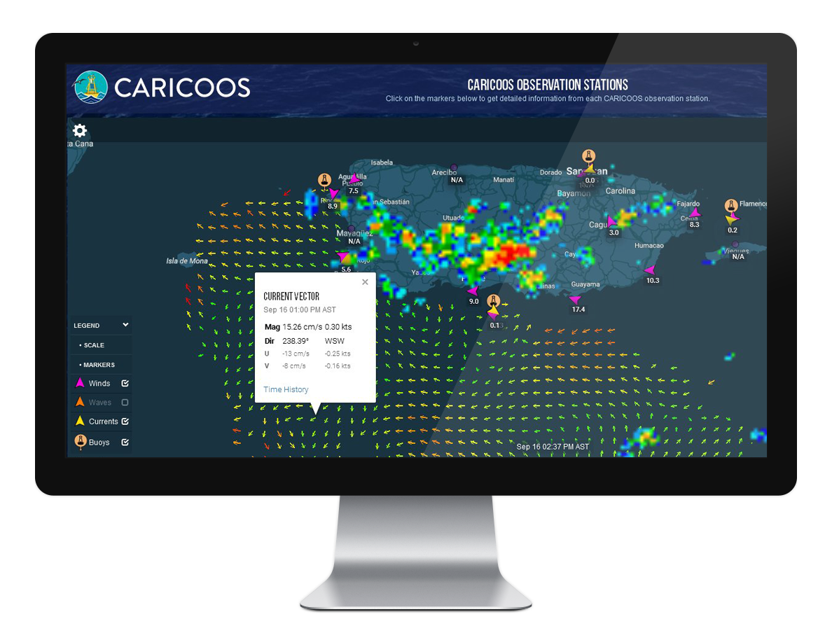
Surface Currents Now Available at CARICOOS’ Main Map

They’re not hidden anymore! Surface currents are now displayed on the CARICOOS homepage. Just select Currents from the markers available on the bottom left of the map to see the latest surface current data as resolved by CARICOOS’ HFR network. Use the SCALE bullet to translate colors into current magnitude. You can also click on… Read More

New Glider Mission in the Water

The latest NOAA AOML and CARICOOS glider missions kicked off this summer. Two gliders were deployed into the Caribbean Sea, 8 nautical miles south of La Parguera during late July; two more started their voyage in the Atlantic Ocean just 8 nautical miles north of San Juan around early August. Our objective is to have the… Read More

Training the Trainers: Forging a Safer Utilization of Marine Resources

Last June Dr. Juan G. González Lagoa and CARICOOS personnel engaged secondary school teachers in a two-day workshop with the purpose of spreading CARICOOS mission to make marine activities safer, foster economic development, encourage conservation of marine resources, and further educate in topics related to the marine environment. In order to provide the necessary tools to… Read More