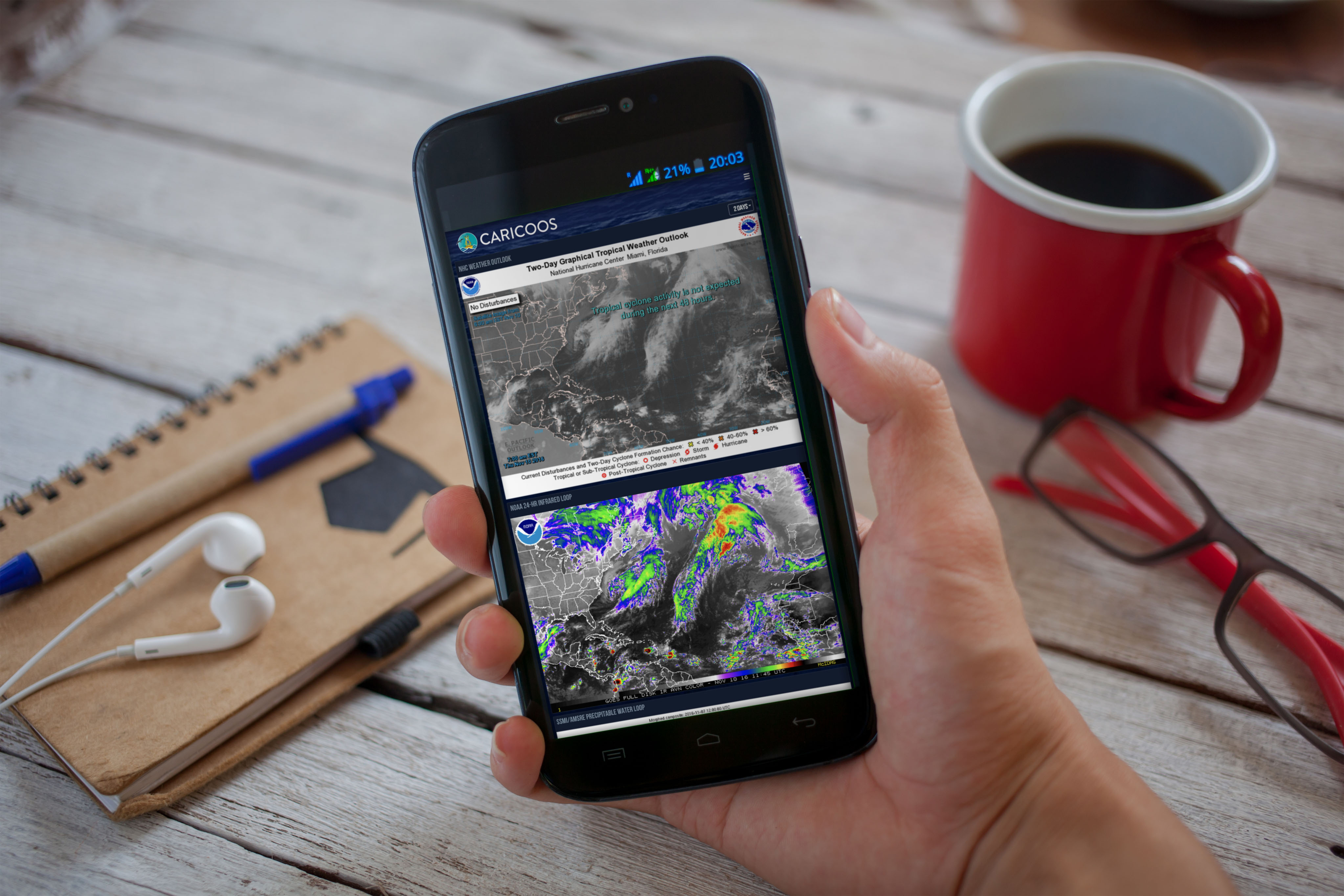
As the hurricane season comes to an end (or is it?), we look back on the new and improved hurricane season dashboard. We pulled the best products from the National Weather Service and other NOAA programs to provide you with a synoptic view of what’s going on in the Atlantic. This year we had almost 7000 views, with 10% just on September 29th, when then Tropical Storm Matthew was south of the US Virgin Islands. Page views peaked again on October 6 as Matthew moved northward through the Bahamas. Even if the season is over, check out the infrared images, precipitable water, marine forecasts, and much more at www.caricoos.org/hurricane-season or by clicking HURRICANE SEASON on the main menu.