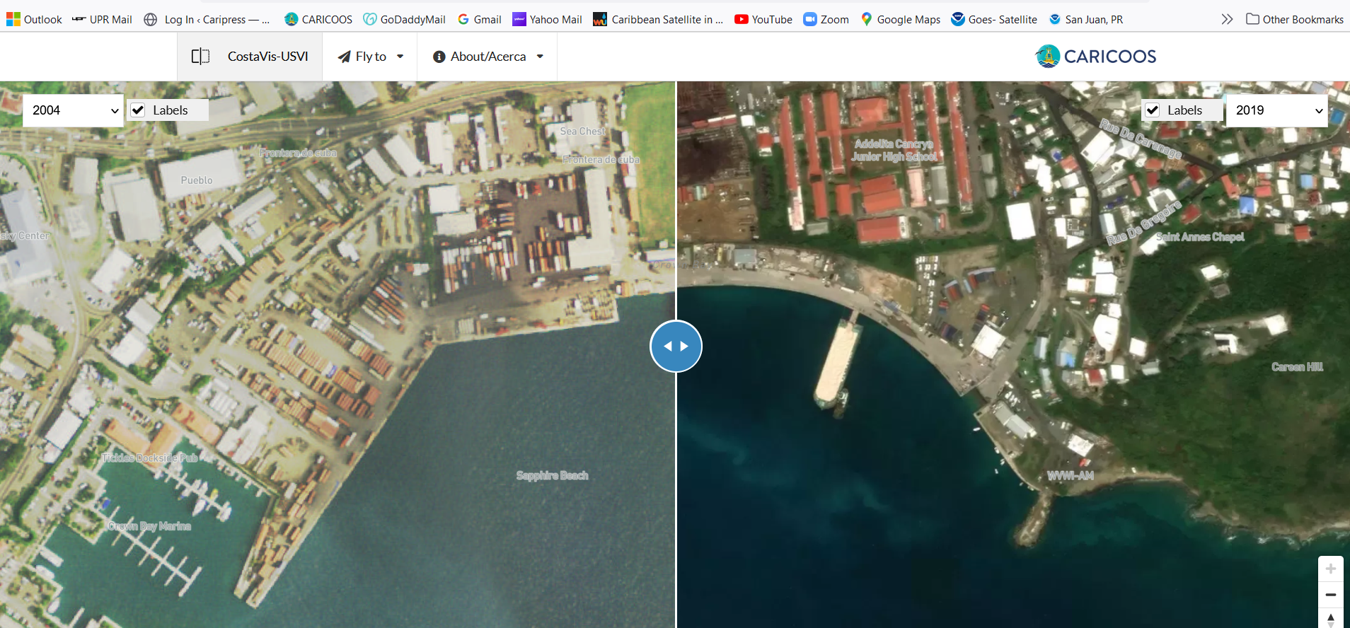
The Caribbean Regional Ocean Partnership is pleased to announce the launch of CostaVis USVI (https://costavisusvi.org), the first online tool to visualize landscape transformation in the US Virgin Islands using aerial photographs from 1971 to 2019. Administrators and personnel of federal and state government, coastal communities, educators, researchers, Non-Governmental Organizations and other sectors will be able to understand changes resulting from anthropogenic activities and natural phenomena impacting these Caribbean islands.
You will find this tool and a wide variety of coastal data products in the CROP Data Portal interactive dashboard (https://crop.caricoos.org).