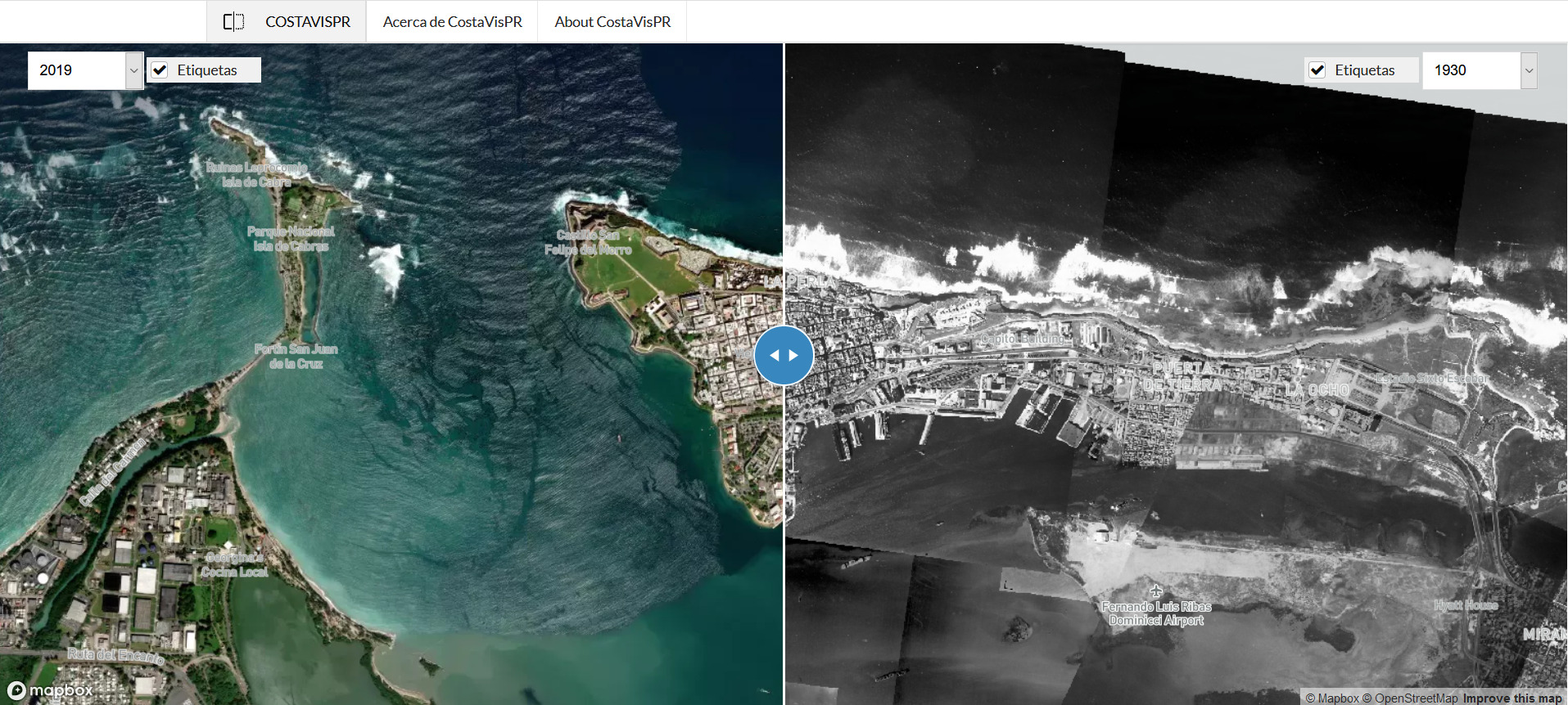
CostaVisPR: Vista Aerea de la Transformacion Costera de Puerto Rico (http://www.costavispr.org) is a web-based tool for visualization of changes in coastal areas. This viewer integrates aerial photographs from 1930, 1950, 1994, 2010, 2017 and 2019 and allows exploration of changes in land cover, which can be related to natural and anthropogenic processes such as hurricanes, sea level rise, erosion, and changes in coastal urban development, among others. The CostaVisPR viewer was developed through a collaboration between the UPRM Interdisciplinary Center for Coastal Studies (CIEL), Sea Grant Program and the Caribbean Coastal Ocean Observation System (CARICOOS) Regional Ocean Partnership initiative.
COSTAVISPR: A NEW CARIBBEAN REGIONAL OCEAN PARTNERSHIP TOOL TO EXPLORE COASTAL LANDCOVER CHANGES IN PUERTO RICO