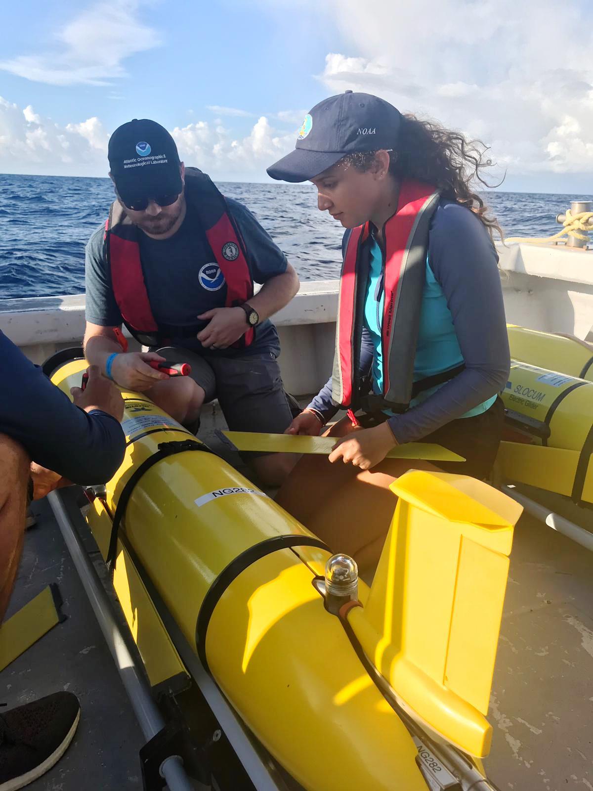
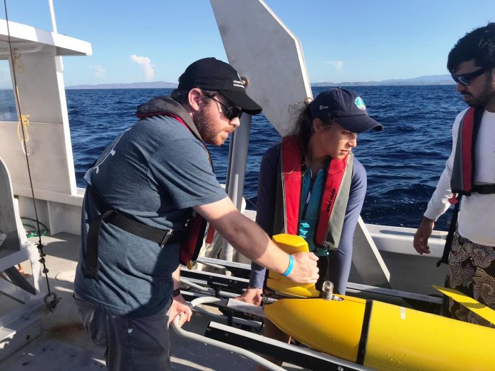
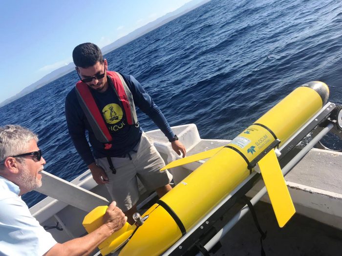
Naval Oceanography recently delivered three ocean gliders that will join six currently in operation by NOAA AOML-CARICOOS in the Caribbean Sea and Tropical Atlantic waters for a mission primarily focused on improving hurricane intensity forecasts. CARICOOS scientists and students and NOAA/AOML personnel deployed the three gliders off La Parguera near the southwest corner of Puerto Rico. Naval Oceanography personnel will pilot these gliders along predetermined transects approximately 200km long, and they will be patrolling the oceans until the end of the hurricane season. While in operation, gliders collect depth, temperature and salinity data which is transmitted via satellite each time they surface from their dives to over 500m depths, data which are then assimilated into hurricane forecast models. These gliders are part of a larger coordinated effort conducted by NOAA, IOOS, U.S. Navy, and academic institutions that has approximately 30 gliders positioned in key areas of the oceans where hurricanes are known to travel and intensify.
Three Naval Oceanography ocean gliders join six operated by NOAA AOML-CARICOOS in the Caribbean Sea and Tropical Atlantic