Outlook of 2022 Sargassum blooms in the Caribbean Sea and Gulf of Mexico* January 31st, 2022, by University of South Florida Optical Oceanography Lab
IOOS ASSOCIATION NEWSLETTER January 2022
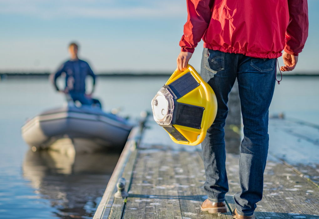
Improving Ocean Data for Indigenous Coastal Communities Congratulations to AOOS, NANOOS, and PacIOOS for receiving funds for a new project under the National Science Foundation’s Convergence Accelerator program. These three U.S. IOOS Regional Associations are collaborating with Sofar Ocean, a lower-cost buoy and sensor company, to improve access to ocean data for Indigenous communities. Indigenous… Read More
Experimental Weekly Sargassum Inundation Report (SIR v1.2) By the National Oceanic and Atmospheric Administration (NOAA), and the University of South Florida (USF) Status: Jan 11-17, 2022
Sargassum Sub-regional Outlook Bulletin| January 2022 |vol 2|issue 2
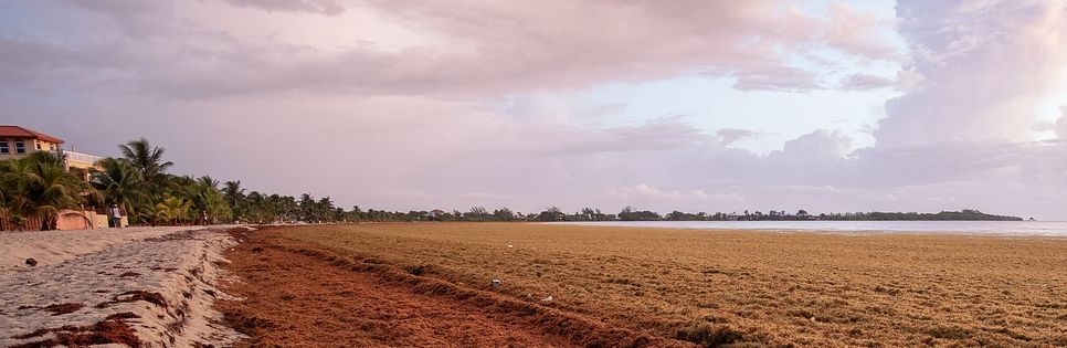
Experimental Weekly Sargassum Inundation Report (SIR v1.2) By the National Oceanic and Atmospheric Administration (NOAA), and the University of South Florida (USF) Status: Jan 4-10, 2022
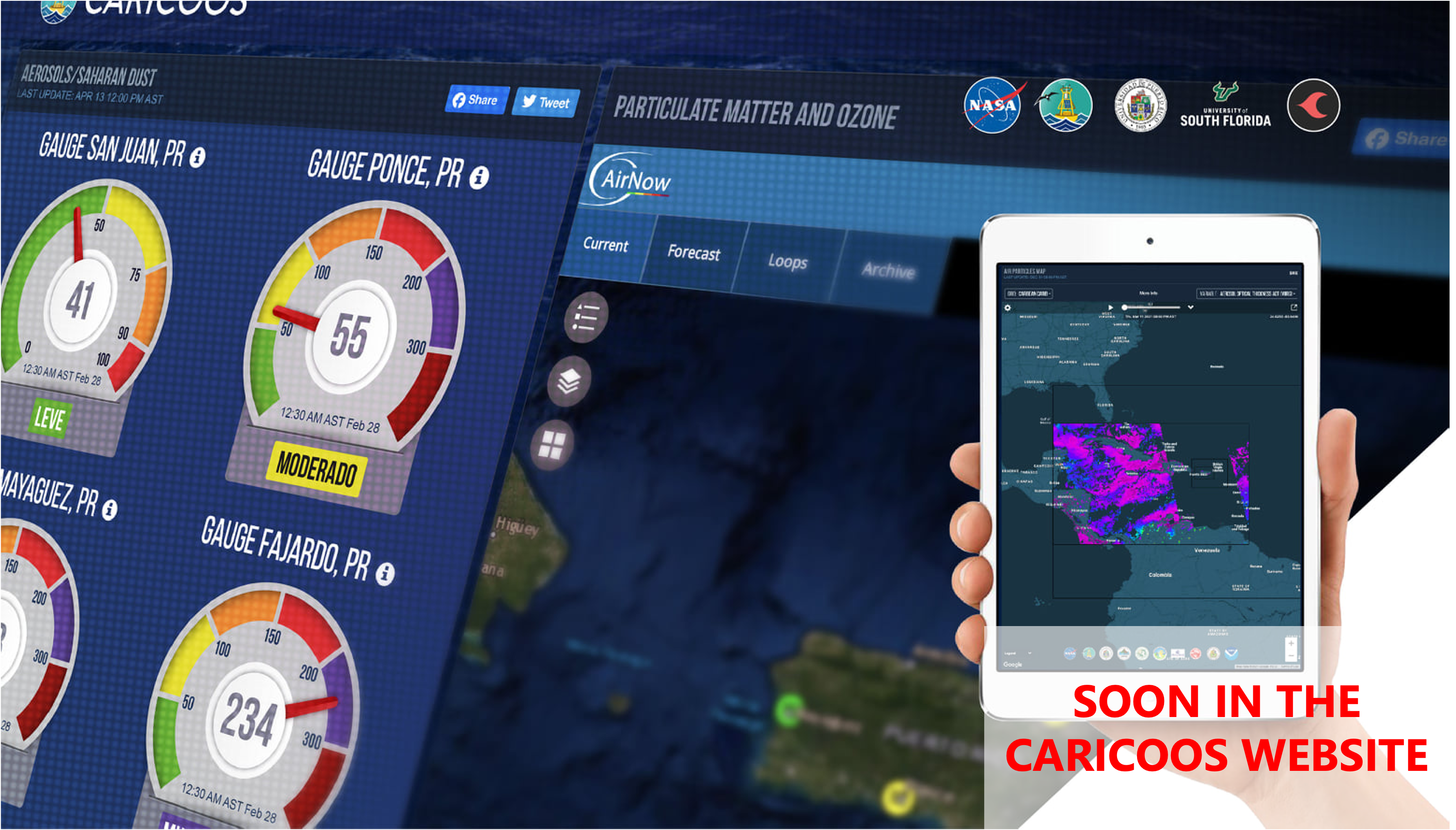
CARICOOS SUPPORTS A MULTIDISCIPLINARY EFFORT AIMED TO DEVELOP AN AIR QUALITY WARNING SYSTEM
A multidisciplinary team of universities, agencies and non-governmental organizations located in the Caribbean region and led by UPR-Medical Sciences (PI: Pablo Méndez-Lázaro), UPR-Río Piedras, University of South Florida, ACAR and PR-CLIMAH scientists are characterizing the periodic transatlantic dispersal of the Sahara dust and its impacts on the health of the people in Puerto Rico using Earth observation data from… Read More
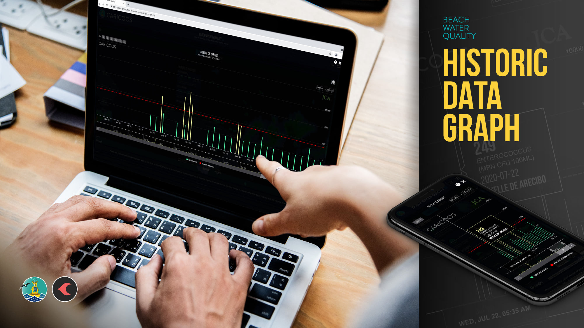
CARICOOS RELEASES A NEW VERSION OF THE BEACH WATER QUALITY PRODUCT
CARICOOS Beach Water Quality product now includes an interactive tool to assess historical data at each sampling site. The beach water quality map serves results of the latest Enterococci samples collected by the Puerto Rico Environmental Quality Board, Surfrider Foundation and Blue Flag. The product also includes experimental nowcasts providing probability of EPA threshold exceedances for… Read More
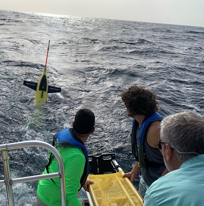
A SUCCESSFUL 6-MONTH UNDERWATER GLIDER MISSION!
In June 2021, CARICOOS, in collaboration with NOAA-AOML, OCOVI and US Navy, deployed seven underwater gliders. Two of these were deployed in the tropical Atlantic Ocean and five in the Caribbean Sea off Puerto Rico and US Virgin Islands. These battery-powered AUVs operated for up to six months. During the mission, the gliders gathered temperature and salinity… Read More