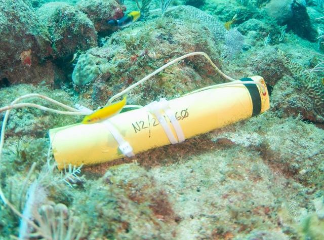
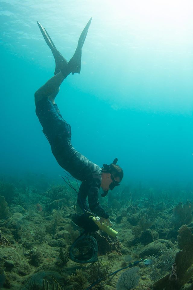
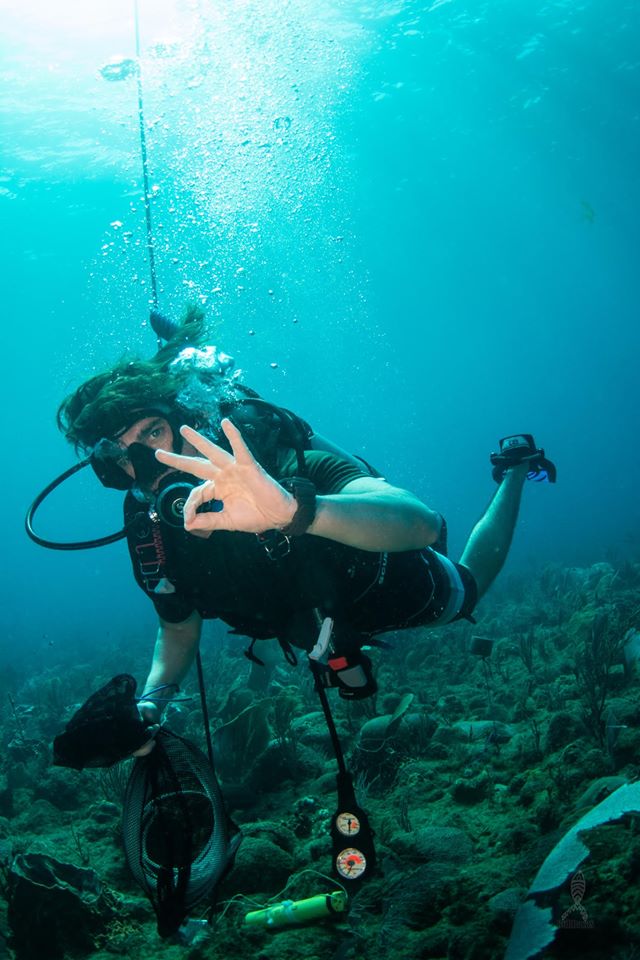
CARICOOS and UPRM scientists, in partnership with the US Geological Survey and the Tres Palmas Marine Reserve Management Board, installed several wave gauges across the seabed in Tres Palmas to measure the extreme wave event of January 19-20, 2020. The USGS is partnering with the University of Puerto Rico-Mayaguez (UPR-M) to better understand how waves propagate across coral reefs and cause coastal flooding along tropical shorelines. Their goal is to reduce hazards to, and increase the resilience of, tropical coastal communities. UPRM scientists will use the findings to improve coastal hazard forecasts they provide with data from NOAA’s Caribbean Coastal Ocean Observing System (CariCOOS).
Photos by Pichón Duarte.


